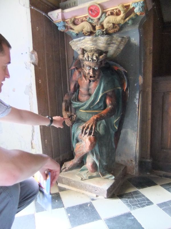
On our travels Mrs J and I have visited a number of ghost towns, some supposedly haunted, some not. They all however share a mysterious air, as they are essentially towns that have been frozen in time. Below is a short history of the ghost towns that we have visited.
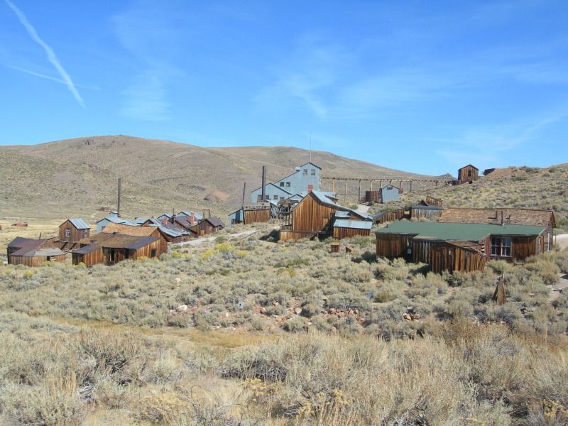
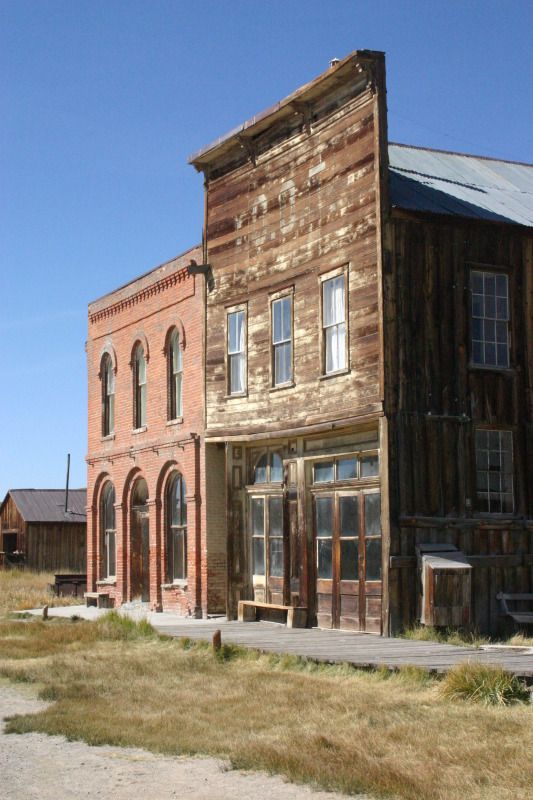
Bodie
Bodie is an abandoned town that lies east of the Sierra Nevada mountain range in California at a wind-swept elevation of 2,554m. Bodie began life in 1859 as a small mining camp following the discovery of gold by a group of prospectors, which included W. S. Bodey (whom the town was ultimately named after). In 1876 further deposits of gold ore were found, which facilitated Bodie’s transformation from a small mining camp into a Wild West boomtown. Continuing discoveries of gold enticed more people to the town and by 1879 Bodie had a population of approximately 5,000 to 7,000 people, and consisted of around 2,000 buildings.
Bodie’s demise as a town began in 1880, when miners began to drift off towards other more prosperous boomtowns. By 1910 the population was recorded at 698 people, and by 1920 it had fallen to around 120. The final nail in Bodie’s coffin seemed to occur in 1942, when due to the war, all non-essential gold mines in the USA were closed.
Pictures of Bodie have previously featured in Andrew May’s
Forteana Blog.
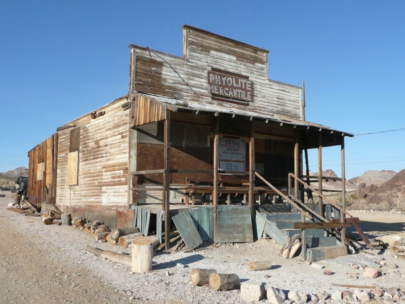
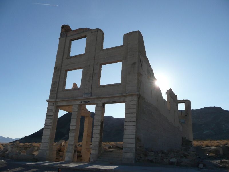
Rhyolite
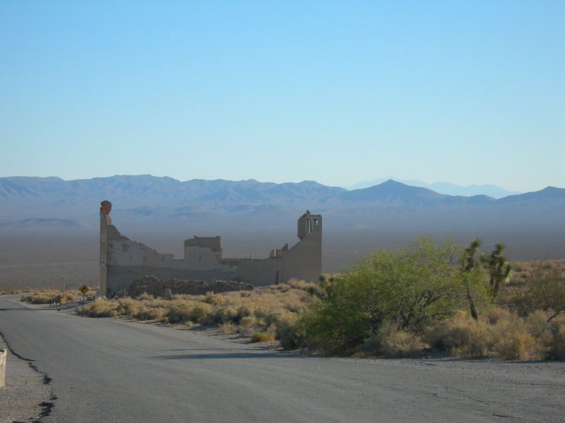
Rhyolite is an abandoned town which lies at an elevation of 1,200m in the Bullfrog Hills in Nevada, about 120 miles northwest of Las Vegas, near the edge of Death Valley.
In August 1904, prospectors found gold on the side of Bullfrog Mountain and word of this discovery soon spread, and shortly afterwards thousands of hopeful prospectors rushed in to the area. This sudden influx of people lead to settlements being established near the mines and Rhyolite became the largest of them. Starting as a two-man camp in January 1905, Rhyolite became a town of 1,200 people in two weeks and reached a population of 2,500 by June 1905. By which point it was a significant town with 50 saloons, 19 lodging houses, 16 restaurants, half a dozen barbers, and even a weekly newspaper. By 1907 the population had increase further to about 4,000 to 5,000 people and the town now boasted concrete sidewalks, electric lights, water mains, telephone and telegraph lines, daily and weekly newspapers, a monthly magazine, police and fire departments, a hospital, school, train station and railway depot, at least three banks, a stock exchange, an opera house, a public swimming pool and two formal church buildings.
The town’s decline was nearly as fast as its boom, and by 1909 the mines had stop producing new gold ore and by March 1911 the gold rush was over. The town’s population decline mirrored this drop in gold production and by 1910 the population had dropped to only 675 residents. All three of the town’s banks had closed by March 1910 and the post office followed suit in November 1913. The last train left Rhyolite Station in July 1914, and the Power Company turned off the electricity and removed its power lines in 1916. By 1920 the town’s population was only 14 people, and the last remaining resident was reported to have died in 1924.
Imber
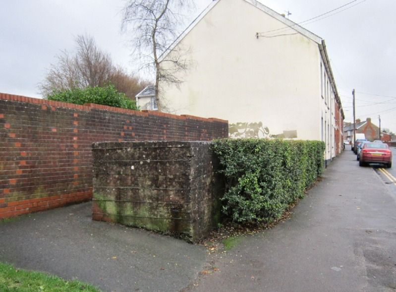
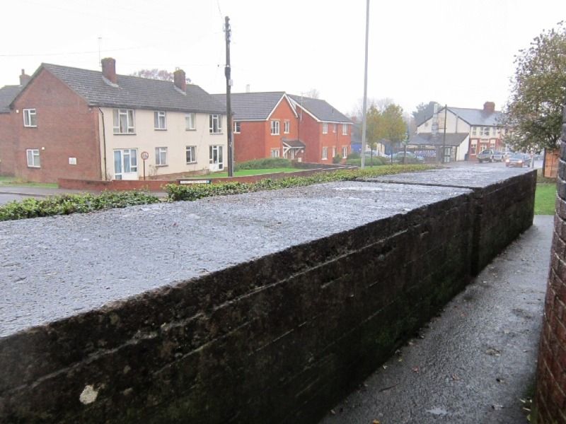
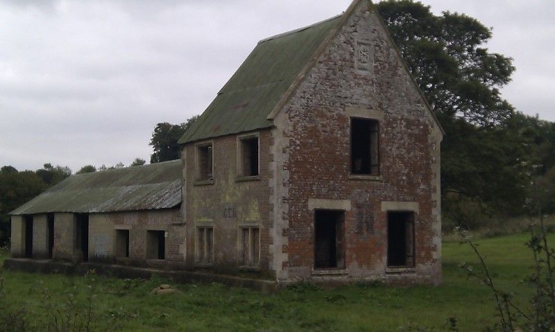
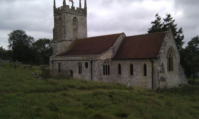
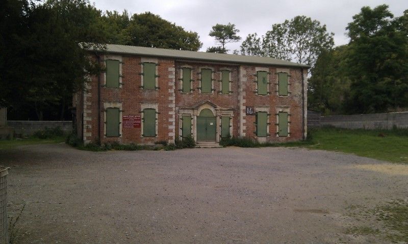
Imber is an uninhabited village which today forms part of the Army training ground on Salisbury Plan in Wiltshire. Imber had existed as a settlement for many centuries, with the first documented mention of the village coming from 967. Imber is also mentioned in the Domesday book (1086), at which time the population was around 50 persons. By the 1300’s the population of the village had risen to around 250, where it is believed to have remained until the 1800’s. The population peaked at 440 as recorded in the census of 1851, declining to around 150 by the time of Imber's abandonment.
Imber’s abandonment was a result of the war effort during the Second World War In November 1943, while the Allied forces made preparations for the invasion of Europe, the people of Imber were called to a meeting in the village schoolroom and given 47 days' notice to leave their homes. Imber was to be abandoned to allow the US forces to practice Urban Warfare prior to the planned invasion of Europe. The villagers after being assured that they could return to their homes within six months, left the village with no resistance, however they were never allowed to return, and the town continues to be used for military training today.
Pictures of Imber have previously featured in Andrew May’s
Forteana Blog.
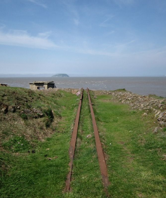
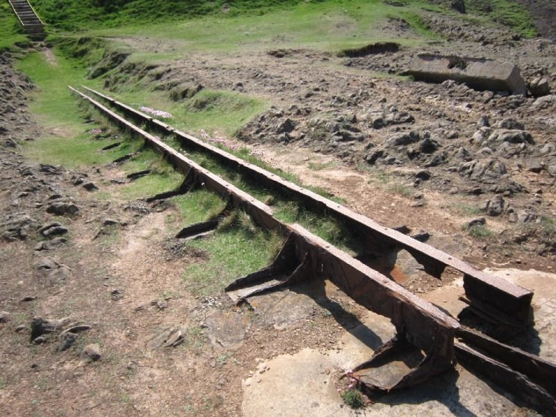
Pictures California & Nevada (2008) and Wiltshire (2011).